### **R500 RTK Surveying and Mapping UAV: Elevate Your Aerial Intelligence**
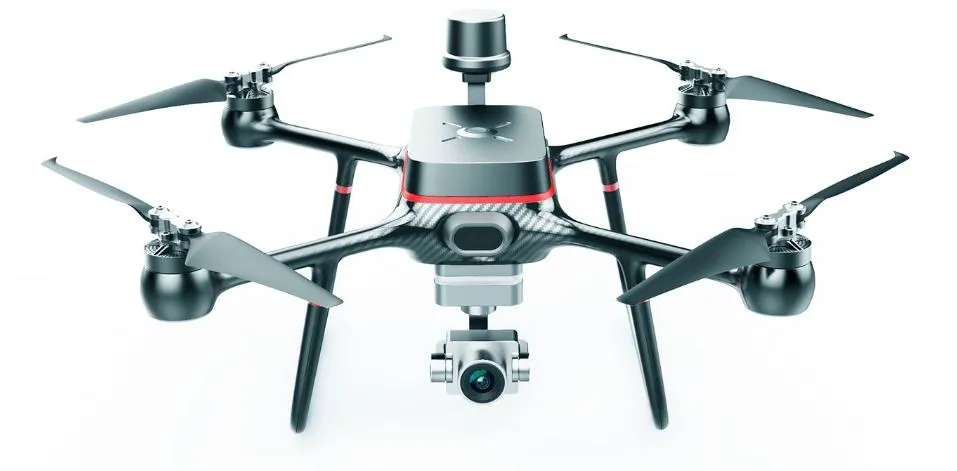
Introducing the **R500 RTK UAV**—a cutting-edge drone engineered to redefine aerial surveying and mapping with unparalleled precision and efficiency. Designed for professionals who demand excellence, the R500 RTK stands out as the ultimate tool for capturing high-resolution data in even the most challenging environments.
#### **Why Choose the R500 RTK?**
– **Lightweight Carbon Fiber Construction**: The R500 RTK features a durable and lightweight carbon fiber fuselage, ensuring smooth and stable flights, even in Grade 7 wind conditions. Its robust design makes it highly portable, allowing you to take your aerial surveys wherever they need to go.
– **Advanced Camera Integration**: Equipped with a three-axis gimbal, this drone supports a variety of high-definition cameras, including 6K ultra HD 

